
A decentralized platform for biodiversity observations, built on the AT Protocol.
GainForest — Biodiversity Observations & Nature Projects
Explore field observations, biodiversity records, and nature projects from communities and organizations using GainForest.
calendar pt. 1: ATProtocol beyond AppViews - building [at] habitat
our approach to permissioned data (part 1!)
ATScience Ecosystem Map
An interactive map of research applications, infrastructure and communities built on AT Protocol.

Defining data agency - building [at] habitat
& more reflections from Habitat's summer in Berlin
but should apps see our data? - building [at] habitat
thinking small on the protocol
Call for Participation: AT Protocol Ecosystem Action Research - Ecosystem Action
A pilot program to facilitate cooperative, research-led innovation in the AT Protocol ecosystem.
Habitat's road to release: 02 sap for syncing permissioned spaces - building [at] habitat
A package to help apps keep permissioned data up-to-date.
What you can do with AT Protocol - Applied Meteorology
Years of centralized platforms have limited our thinking about what's possible on the web.
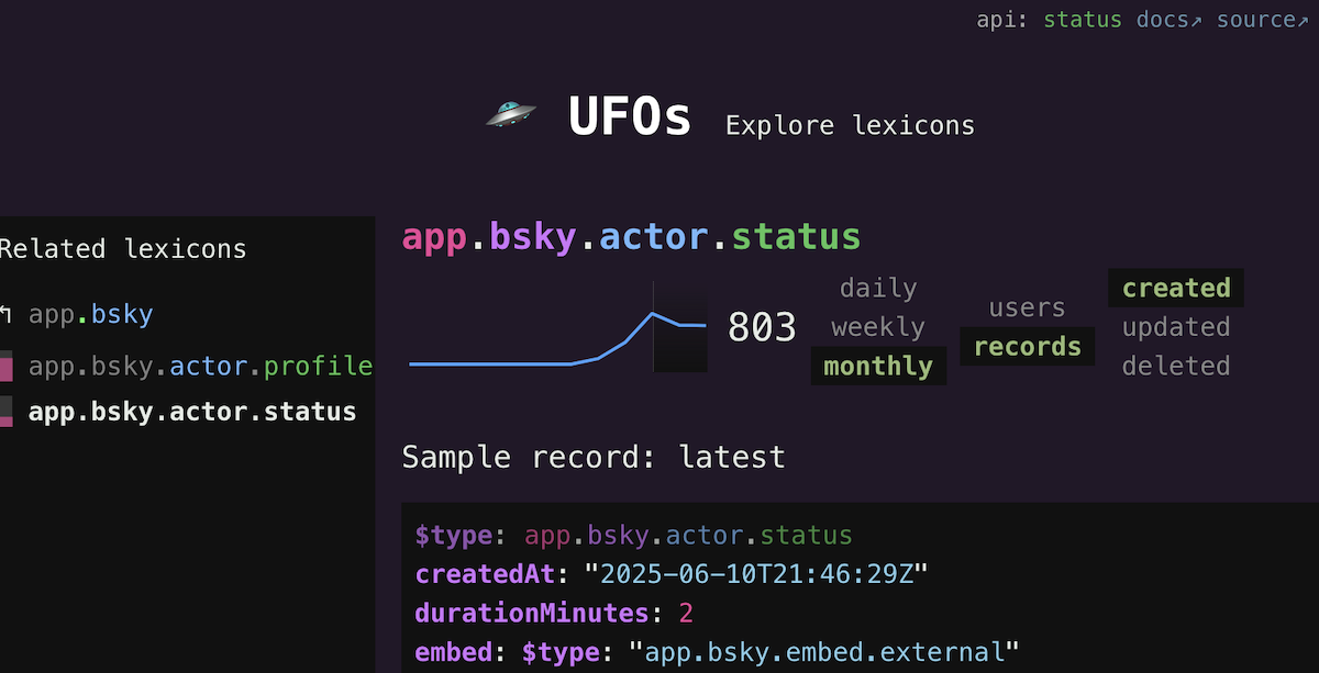
🛸 UFOs: Explore atproto lexicons
Sample records and timeseries statistics for *every* collection seen in the ATmosphere.
greensky: what does permissioned data feel like? - building [at] habitat
At @habitat.network, we're working hard to launch something at ATmosphereConf. We're building a platform for user data agency: giving users full and transpar…
Atmospheric doesn’t have to be an app - Applied Meteorology
You can just build features into the websites you've already got!
Atmospheric doesn’t have to be an app - Applied Meteorology
You can just build features into the websites you've already got!
MySky: Open, Controllable Feed Infrastructure for the Atmosphere - AT Protocol
MySky is an algorithmic feed running on Bluesky, with a settings panel that shows you the whole ranking pipeline exactly as it runs.

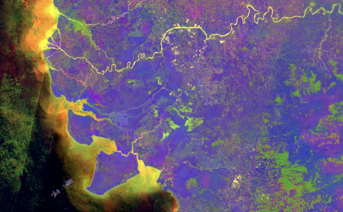
A Beginner’s Guide to Seeing More With Satellite Imagery
Multispectral satellite images can reveal useful information about the world, such as mining activity and changes in vegetation.